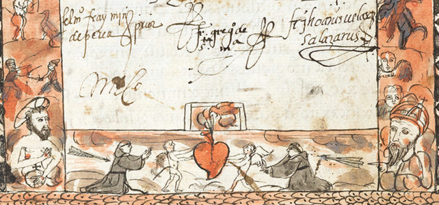
This exhibition focuses on the lives of Augustinian friars who professed to the Augustinian Order in Mexico City’s convent.
The Augustinian Order in Sixteenth-Century Mexico (Exhibition)


This exhibition focuses on the lives of Augustinian friars who professed to the Augustinian Order in Mexico City’s convent.

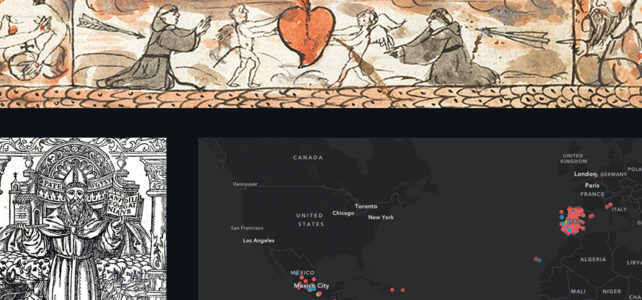
This step-by-step tutorial will introduce you to ArcGIS Online and ArcGIS StoryMaps, free web-based tools that help you visualize and present geospatial research, using data and images from materials related to the Augustinian Order in sixteenth-century Mexico preserved at the Benson Latin American Collection.