Description
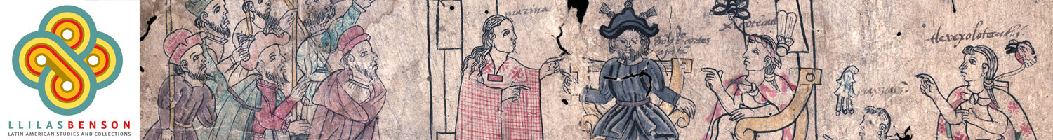
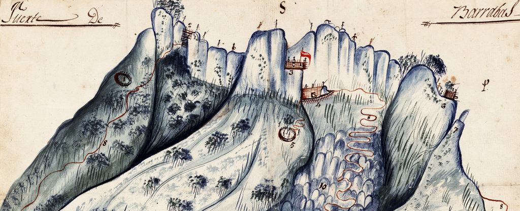
The exhibition focuses on three distinct moments when maps played an integral role in the transformation of Mexico and its political geography. In the sixteenth century, early colonial pictographic maps drawn by indigenous artists reflect the growth of Spanish colonial administration. In the eighteenth century, new maps of Mexico’s principal cities serve as both representations and instruments of the viceregal government’s efforts to re-order and regulate Mexican social life and public spaces. In the nineteenth century, maps are central to the military struggle for independence and the defense of contested national borders.
Date Range(s): 1580-1847
Country(ies): Mexico; United States
Course Subject(s): World Geography Studies; Latin American Studies; Indigenous Studies; World History Studies; Borderland Studies; U.S. History: pre-1877; Mexican American Studies
Topic(s): Land Grants; History; Native Americans; Catholicism; Government; Geography; Architecture; Urban Planning; Glyphs; Missionaries; War; Independence
Document Types: Maps; Paintings
Language(s): Spanish; English; Nahuatl
Links
Rights Statement
Creator(s): Dr. Julianne Gilland, LLILAS Benson Special Collections Curator (2013)
Date Created: 2013
Physical Repository: Benson Latin American Collection, University of Texas at Austin
This exhibition and highlighted primary sources are in the public domain.