This exhibit celebrates the opening of Mexican novelist María Luisa Puga’s archives by showcasing highlights from the collection. Puga was a highly disciplined diarist and created personal journals, or cuadernos, to not only chronicle her daily life and activities, but also to developed her literary work. In capturing her dazzling approach to organization and extensive doodling habits, these diaries manifest the author’s own consciousness and provide a written record of feelings, friendships, and encounters—life’s most ephemeral moments, made permanent.
The exhibition focuses on three distinct moments when maps played an integral role in the transformation of Mexico and its political geography. In the sixteenth century, early colonial pictographic maps drawn by indigenous artists reflect the growth of Spanish colonial administration. In the eighteenth century, new maps of Mexico’s principal cities serve as both representations and instruments of the viceregal government’s efforts to re-order and regulate Mexican social life and public spaces. In the nineteenth century, maps are central to the military struggle for independence and the defense of contested national borders.
This collection contains full-text English translations of speeches, interviews, and press conferences issued by Fidel Castro from 1959 to 1996. These are based on the records of the Foreign Broadcast Information Service (FBIS), a U.S. government agency responsible for monitoring broadcast and print media in countries throughout the world. The Department of Research of the Radio Martí Program, part of the U.S. Information Agency, undertook the task of digitizing FBIS reports from 1959 through the end of the 1980s.
The digital collection consists of political propaganda from the period of the Salvadoran armed conflict (1980-1992), produced primarily by clandestine groups and solidarity organizations, as well as the military. The posters contain artwork and photos criticizing U.S. intervention in the conflict, announcing protests, and calling attention to government atrocities.
This assignment helps students think critically about the geographical and political definition of the U.S.-Mexico boundary and its effect on people living in the borderlands through the analysis of the 1848 Treaty of Guadalupe Hidalgo text and contemporary historical maps.
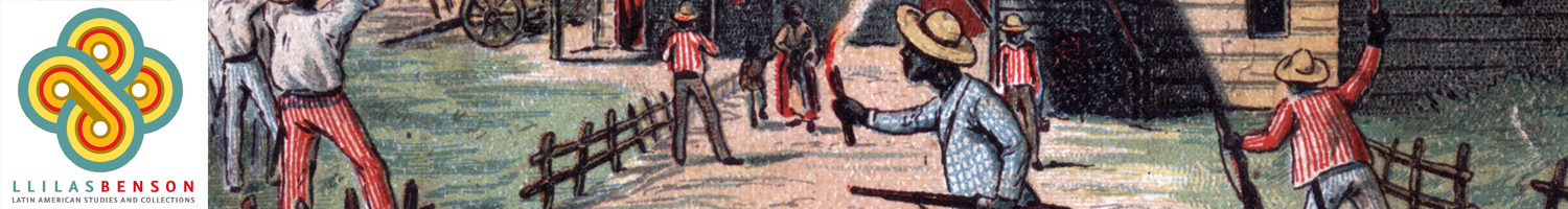
Identify the common causes for resistance in the revolution by learning about the famous faces behind the Mexican Revolution (Zapata & Villa), as well as the less discussed heroes and heroines (Petra Herrera & Vicente Guerrero).
Through the comparison of photographs and analysis of textual sources, this lesson helps students think though the causes of the revolution that are tied to colonial structures.
Through an experiential learning format, this 6-week plan is divided in three segments, each corresponding to the steps of the development of a digital project: theory, design and building of digital product, and public outreach. It has been designed to incorporate digital praxis into your courses, and move from theory to praxis.
Lesson helps students build on prior learning about indigenous civilizations in Mexico to evaluate how the encomienda system connects to the later casta system, and to compare and contrast colonialism of 1490’s with U.S. imperialism in early 1900’s, using a Venn diagram.
")
")
")
")
")
")
")
")
")
")