This collection focuses on the privatization of indigenous corporate property in 19th-century Michoacan under liberal Mexican administrations.
Deed Books of Michoacán de Ocampo Collection (Primary Sources)
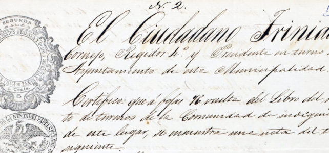


This collection focuses on the privatization of indigenous corporate property in 19th-century Michoacan under liberal Mexican administrations.
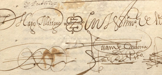
The Royal Archive of Cholula contains the documentation of the old Corregimiento of Cholula, one of the nine “Cities of Indians” that existed in New Spain. This colonial institution functioned as a district seat and had the powers of government, law, finance, and war over Indigenous villages and the Spanish, Black, Mestizo, and Creole populations.
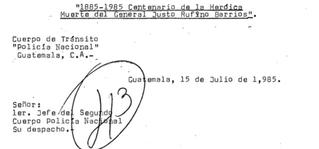
This digital collection contains documentation for the study of Guatemalan history and human rights in the region.

This is a training course designed to teach language documenters, activists, and researchers how to organize, arrange, and archive language documentation, revitalization, and maintenance materials and metadata in a digital repository or language archive.
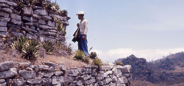
The Archive of the Indigenous Languages of Latin America (AILLA) is a digital language archive of recordings, texts, and other multimedia materials in and about the indigenous languages of Latin America. AILLA’s mission is to preserve these materials and make them available to Indigenous Peoples, researchers, and other friends of these languages now and for generations to come.
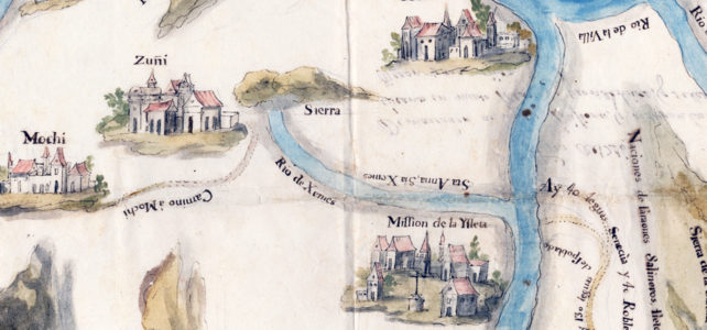
Selection of pictorial, topographical, and political maps at the Benson Latin American Collection.
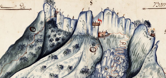
The exhibition focuses on three distinct moments when maps played an integral role in the transformation of Mexico and its political geography. In the sixteenth century, early colonial pictographic maps drawn by indigenous artists reflect the growth of Spanish colonial administration. In the eighteenth century, new maps of Mexico’s principal cities serve as both representations and instruments of the viceregal government’s efforts to re-order and regulate Mexican social life and public spaces. In the nineteenth century, maps are central to the military struggle for independence and the defense of contested national borders.
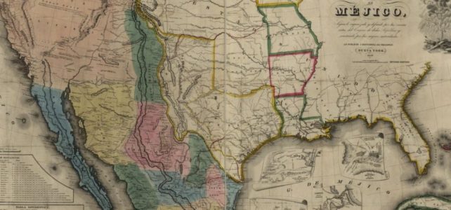
This assignment helps students think critically about the geographical and political definition of the U.S.-Mexico boundary and its effect on people living in the borderlands through the analysis of the 1848 Treaty of Guadalupe Hidalgo text and contemporary historical maps.
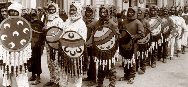
Through the comparison of photographs and analysis of textual sources, this lesson helps students think though the causes of the revolution that are tied to colonial structures.
Through an experiential learning format, this 6-week plan is divided in three segments, each corresponding to the steps of the development of a digital project: theory, design and building of digital product, and public outreach. It has been designed to incorporate digital praxis into your courses, and move from theory to praxis.